| Date |
27 July 04 - "Gratton Dale from Youlgreave" |
| Walk Info | Descend into Bradford Dale via 7 ponds - Long Dale -
Gratton Dale (Nature Reserve) - Dale End - Elton -
Robin Hood Stride - Harthill Moor Farm -
Limestone Way back to river Bradford and Youlgreave.
|
| Distance | 15.5 km = 9.6 miles |
| Leader | Gordon Murray >>> Dave Nutt |
| Telephone | 01 509 842 508 >>> 01 509 827 401 |
| Mobile | 07 752 650 486 >>> 07 708 302 415 |
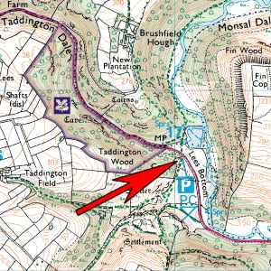
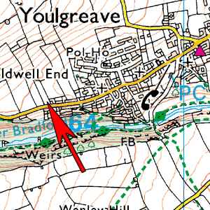
| Start | The West car park in Youlgreave. (There are two!)
[Free] |
| Start Grid Ref | SK 205 641 |
| Travel | Small car park on main road through village at far end
if one is coming via A6 from Matlock. Car Park on right.
Take B5056 off A6 before Bakewell.
Allow 1 hour 15 minutes from Loughborough.
|
| Map of start | Click here 
 |
| Extra map of start |
|
| Toilets at start? | Sort of! |